Habitats of the Southern Willamette Valley
One encounters a diverse set of habitat types as they journey from ridgetop to valley bottom in the Southern Willamette Valley. Understanding the ecosystems that evolved in this place and the changes that have been made to them can help determine future management choices. 
Prior to settlement by Europeans, meandering rivers, floodplains and wetlands covered the lowest elevations of the Willamette Valley. These wet zones transitioned into a mosaic of oak woodlands, open savanna, and prairie grasslands flanked by streams and perched wetlands. Small stands of conifer forest spotted this oak and prairie landscape until the landscape gave way to higher elevations dominated by a diversity of alpine conifers or transitioned across the ridgeline into different ecosystem in the neighboring Siuslaw or Umpqua watersheds (to the west and south respectively).
Early people intensively managed the land using fire to maintain savanna environments rich in acorns, edible lilies, game, and seed crops. Management by fire and seasonal flooding both contributed to the original mosaic of habitats. The loss of the cultures that sustained this landscape, followed by fire suppression and flood control have dramatically reduced the habitat diversity of the Willamette Valley. This pressure has not relented with the onset of agriculture, forestry, and development land uses. In the book Oregon’s Living Landscape, Defenders of Wildlife estimates that oak woodlands have been reduced by 80% of their original land cover. Wetlands have been reduced by 87% and the bottomland hardwood forest ecosystems by 70%. Less than 1% of the native prairies are remaining in Western Oregon.
Land owners are key to the successful restoration of habitat in the valley. In his book Restoring Rare Native Habitats in the Willamette Valley, Bruce Campbell asserts that nowhere in Oregon are private lands more critical for sustaining habitats and wildlife than in the Willamette Valley. What follows is a set of habitat descriptions accompanied by a set of best practices and priorities for their restoration.
Riparian, Bottomland Hardwood Forests and Floodplan
The land adjacent to our waterways is some of the most important for water quality and aquatic habitat as it provides shade, food, and structure, it filters runoff, and it reduces the downstream erosive power of our rivers. The riparian zone of the Willamette River often has trees and shrubs extending along the entirety of the river bank. During floods, the river engulfs these riparian zones and overflows into adjacent floodplains that are important for water storage and for refugia for fish and amphibians. It is in these historic flood zones along the mainstem river and its tributaries where large stands of black cottonwood, Oregon ash, and big-leaf maple have established to form riverine forests that are interspersed with wetlands, side channels, and backwater areas which provide high value habitat to our native fish and wildlife particularly during winter high flow events.
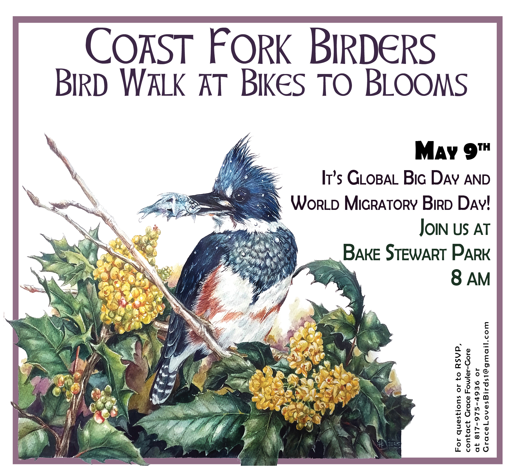
Rivers and Streams
The rivers and streams of the Willamette River support a wide array of native fish including salmon, lamprey, trout, sculpin, dace and others. A great reference document is available about Willamette River fishes: Field Guide to Common Fish of the Willamette Valley Floodplain. More information about the latest research on fish in the Willamette River will be posted soon, but for now, a bit about our rivers here in the Coast Fork Willamette.
There are two main tributaries that contribute flow to form the Coast Fork Willamette River. The Upper Coast Fork Willamette River begins when Garoutte Creek joins Big River Row River. It is unique in that it drains the Calapooia Divide that divides the Willamette from the Umpqua watershed. The Upper Coast Fork flows into Cottage Grove Reservoir and then flows through downtown Cottage Grove. It joins the Row River just downstream of town. The Row River has a large undammed tributary called Mosby Creek that joins the river downstream about a mile below Dorena Reservoir. Brice Creek and Layng Creek come together to form the Row River and are then joined by Sharps Creek.
Once these two main tributaries come together, they form the Coast Fork Willamette River. As the river flows towards Creswell and Eugene, the lands around it are considered the ‘Lower Coast Fork’ watershed. Major creeks that contribute flow are Hill Creek, Bear Creek, and Camas Swale. As the river approaches Eugene and Springfield, the confluence of the Coast Fork and Middle Fork Willamette tributaries forms Willamette River.
Please note these two pieces of river grammar: 1) Row is pronounced ‘ow’ as in the rhyme “a row is a fight about a cow.” 2) There is no need to say ‘of the’ in our river’s name as in Coast Fork ‘of the’ Willamette River.
WETLANDS & WET PRAIRIES
UPLAND PRAIRIES
OAK WOODLANDS & OAK SAVANNA
Oak Woodlands in the Oregon Conservation Strategy
A Landowner’s Guide to Restoring and Managing Oregon White Oak Habitats

Oak woodlands are a Strategy Habitat in the Willamette Valley ecoregion for Oregon Department of Fish and Wildlife who describe this ecosystem well in their Oregon Conservation Strategy. With its sweeping branches, graceful form, and sometimes impressive size, the Oregon white oak adds drama to open landscapes. Oregon white oak ranges from southern British Columbia to southern California. It is the most widely distributed oak species in Oregon and the dominant oak of the Willamette Valley. Its acorns once fed the Calapooia people, and its wood is now used for special products such as fine furniture and oak barrels. It provides food and shelter for a great variety of wildlife. Acorn woodpeckers and western gray squirrels feed on the acorns. Birds forage for insects among the variety of lichens and mosses that grow on the large limbs
The oak woodland plant community is rich in edible lilies including camas, mariposa lily, fawn lily, and chocolate lily and provides habitat for over 200 species of vertebrate. Tarweed, an oil seed crop of the Kalapuya also grows here. Oregon white oaks are accustomed to very little competition and will not persist when shaded out by other trees. In order to protect and enhance existing stands of Oregon white oak, the priority is to halt the encroachment of conifers. Douglas fir, for instance, can grow three to five times faster than Oregon white oak. Clearing and thinning of conifers followed by mowing, planned grazing, or prescribed burning to reduce the encroachment of rampant species and maintain the vigor of the soils are good practices for the restoration of these habitats. It is best to hold off on grazing around oaks until after the early spring to summer native plant communities have gone to seed and the ground has hardened with summer drying. However, the roots of these heritage trees do not thrive if roadways or other sources of compaction impinge within their driplines. Besides, older oaks often provide great habitat in their trunks and branches which wildlife can better capitalize on if they are buffered from human activity.
Oak woodlands are characterized by an open canopy (30-70%) dominated by Oregon white oak with Ponderosa pine, California black oak, and frequently Douglas fir present. In the Willamette Valley, oaks were originally found in a mosaic of prairies, oak savanna, and riparian habitats throughout the valley floor and low elevation slopes. Oaks were most common on flat to moderately rolling terrain, usually in drier landscapes, and often are found between prairie remnants and conifer forests. Today, oak woodlands often are found in small isolated pockets surrounded by other land-uses, such as development or agriculture.
Oak woodlands once covered 400,000 acres of the Willamette Valley, and by 2006, less than 7% (~2,800 acres) remained. Threats to oak habitats include fire suppression, invasive species, and development which all foster vegetation changes.
Fire suppression/fir encroachment—the solution includes multiple tools including prescribed fire, mowing, grazing, and selective harvest to maintain the open canopy, oak-dominated woodlands.
Land conversion/habitat loss to agriculture, rural and urban development—the solution is working with residents and communities to plan and implement conservation strategies. Today, many oaks have been overtaken by fir or cleared for agriculture or forestry while most of the remaining oak woodlands are in soils to steep or shallow for adequate farming or forestry, or around dwellings on old homesteads.
Upland Conifer Forest
Probably the most recognized forest type in our watershed is the evergreen forest whose most common species is the ubiquitous Douglas fir. The life of this forest ecosystem is composed mostly of conifer, or seed bearing, trees with an understory of vine maple, big leaf maple, chinquapin, and the smallest nut tree, the hazel. The shrub and herbaceous layer includes the edible berries salal, red huckleberry, creeping blackberry, and creeping dogwood, the highly medicinal plants Oregon grape, and California ginseng, and the sword, bracken, and maidenhair fern. The conifer forest thrives in all but the shallowest upland soils and can be found right up to the edge of wetlands in the lower elevations.
Modern land use favors this forest type because of the nature of its most dominant tree, the Douglas fir. The Douglas fir grows in a high light environment and puts on height and girth rapidly which leaves it perfectly adapted to its being managed on 40-50 year rotations of clear cuts followed by replanting of seedling trees. Consequently, most of our conifer forests are in some stage of this rotation with an even aged mostly Douglas fir canopy and a robust shrub and herbaceous layer.
In time, as conifer forests mature, the species composition in the canopy and understory moves from being dominated by Douglas fir to a mixed tree community as less light tolerant species germinate in the shade of the pioneering fir and make their way to the canopy level. These trees include the hemlock, the western red and incense cedar, and the grand fir.
Anthropologists and environmental historians recon that prior to the arrival of Europeans to North America, the conifer forests made up no more than 10% of the Willamette Valley landscape and were located only on the North side of steep hills and in upland riparian zones. This scarcity of the conifer plant community was due to the use of fire by the Kalapuya Indians who intensively managed the landscape for the meat, nuts, bulbs, and seeds, that favored open meadows swept clean of evergreen trees by controlled burning.
Restoration of conifer forests in the Coast Fork Willamette Watershed include thinning of over dense stands of young Douglas fir for wildfire prevention and enhancing species diversity, undertaking selective thinning to encourage the growth of less dominant tree species, planting conifers in riparian areas to encourage shade and create long term stream structure from fallen trees in the stream channel, and maintenance and development toward managed forests with old growth characteristics for maximizing conifer forest species diversity. Old growth characteristics include a high deviation in tree age and girth, retention of standing dead trees and downed woody debris, and multiple diverse canopies.
Conservation Programs
NRCS ‘EQIP FY 2015’ ENVIRONMENTAL QUALITY INCENTIVE PROGRAM
Threats To Local Habitats: Invasive Species

 Photography by Glenn Miller, ODA
Japanese Knotweed
One of the primary invasive species of concern in the Coast Fork Watershed is knotweed. This plant looks similar to bamboo and the young shoots are edible. The problem: it is nearly impossible to remove once a patch becomes established. When it colonizes streambanks, it crowds out all other vegetation and prevents the re-establishment of trees and shrubs. Fortunately, there are only a few small patches in the watershed, but it may be spreading. Areas of greatest risk are where beavers and other animals are eating it and moving it around in remote areas like old gravel ponds. If you identify a patch, please report it to Weedmapper or call the Coast Fork Watershed Council at (541) 767-9717.
There is a lot of very good information already prepared on this plant, so please see the links. This knotweed description is directly from the Oregon Dept of Agriculture’s Noxious Weed Control Division:
Description
Perennial; blooms July to October. Grows four to nine foot tall and has long creeping rhizomes. Stout stems reddish-brown, nodes slightly swollen. Leaves short stalked, trucate, broadly ovate and 2-6″ long by 2-4″ wide. Flowers greenish-white to cream in large plume-like clusters at the ends of the stems. Hybrids with giant knotweed are common.
Impacts
Japanese knotweed is a native of Eurasia and was introduced to the United States as an ornamental. Plants grow vigorously along roadsides, waste areas, streams and ditch banks and create dense colonies that exclude native vegetation and greatly alter natural tree regeneration. Established populations are extremely persistent and do not respond to mowing/cutting. Large infestations can be eliminated with approved herbicides, but treatments are costly and time consuming. It poses a significant threat in riparian areas, where it disperses during flood events rapidly colonizing scoured shorelines, islands and adjacent forest lands.
English Ivy
Many invasive species are far too widely distributed to consider ‘eradication’–English ivy is in this category. While it is a useful ground cover in many situations, once it begins to climb it will set seed AND it can strangle streamside trees to death. In downtown Cottage Grove, English ivy poses a serious risk to the majority of trees remaining in the riparian zone. We are interested in working with landowners to voluntarily remove the ivy from the trees and to maintain it on their property so it does not transmit seeds or kill trees.
We work with Oregon Parks and Recreation Department to control English ivy on trees in high priority floodplain, wetland and riparian ecosystems like Lynx Hollow Greenway. This photo is from a workparty in 2012, note the tools and technique used. The ivy is essentially ‘girdled’ off the tree and just pulled as far away from the base as possible. In most cases this will kill the upper ivy and there is no need to pull the remaining ivy from the trees down onto the ground. This is dangerous and may disturb birds who are using the ivy as habitat.
Ivy removal is a very important and satisfying stewardship activity, please consider joining us. You can check our events listing on the homepage for future opportunities to help conserve our native ecosystems!

Early Detection/ Rapid Response
ODA Program Information
It isn’t possible to control every weed, and control costs increase exponentially as the species increases in distribution. As such, the best practice for controlling new, highly risky invasive species is ‘Early Detection and Rapid Response’.